Shelter Cove Airport Photo
Photo ID: AP35164
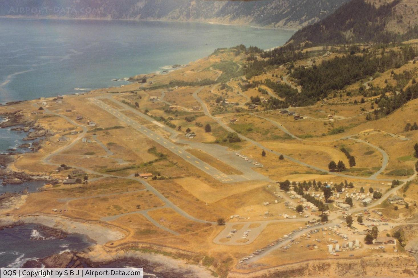
What it looked like around 1985.A little less populated then.
Photo Info
| Airport | Shelter Cove Airport |
|---|---|
| Photographer |
S B J
Contact
|
| Upload Date | 2014-05-24 |
| Views | 823 |
EXIF Data
| Date Taken | 2014-05-24 09:14:34 |
|---|
More photos of Shelter Cove Airport
Total 9 photos.
View all photos

ROBERT HERRERA

ROBERT HERRERA
 is in the top left of pic where the dark part of the mountain range ends.It is now Kings Range National Conservation Area known as The Lost Coast. - by S B J")
S B J

ROBERT HERRERA
. Fatal to him and 16 others.7 survied. - by S B J")
S B J